

DEMNAS | Landform
PRODUCTSPATIAL MODELLINGNEW ARRIVAL
DEMNAS | Landform
Level of Effort : Medium
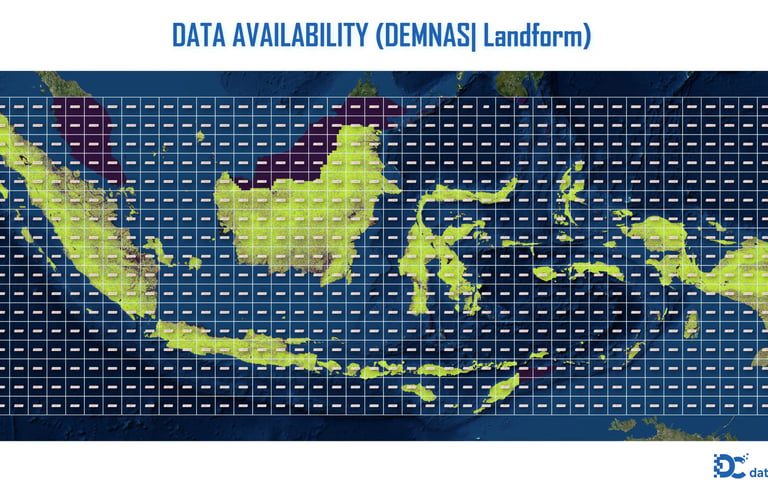
Indonesia is renowned for its highly diverse landform types—ranging from active volcanoes, folded mountains, fluvial valleys, karst formations, to expansive alluvial and coastal plains. This geomorphological diversity forms a crucial physical foundation for biodiversity, soil characteristics, and water dynamics. Through the use of DEMNAS (Indonesia’s National Digital Elevation Model), we now have the ability to reveal and classify this diversity in a more objective and standardized way.
Unlike traditional methods that rely on slope and curvature calculations, geomorphons developed by Stepinski and Jasiewicz (2011) are based on local terrain visibility patterns, known as line of sight analysis. Each pixel is classified using a local ternary pattern, derived from relative elevation differences along eight cardinal directions, identifying landforms such as peaks, slopes, valleys, saddles, and more. This method removes the dependency on differential geometry and enables multi-scale terrain classification in a single step. In the Indonesian context, this approach holds immense potential to enrich our understanding of national landscapes—from micro-scale applications like smallholder agriculture to macro-scale regional zoning, disaster risk mapping, and conservation planning.
In essence, the combination of DEMNAS and the geomorphon method not only produces more natural and realistic landform maps but also unveils hidden spatial patterns that are often lost in raw elevation data. This opens up new opportunities for researchers, government agencies, and practitioners to explore Indonesia’s landscapes through a more adaptive, efficient, and science-driven digital framework.
Data Source :
Name: DEMNAS
Publisher: BIG (Badan Informasi Geospasial)
Version: 2018 (latest version may vary)
Spatial Resolution : 0.27 arc-second (~8.25 meters at the equator)
File Format GeoTIFF
Landforms Classification :
Peak
Ridge
Shoulder
Slope
Footslope
References
Stepinski, T.F. & Jasiewicz, J. (2011). Geomorphons – A New Approach to Classification of Landforms. Geomorphometry.org.
ESRI (2023). Classify Terrain with the New Geomorphon Landforms Tool.
Hollow
Valley
Pit
Flat
Spur/saddle
© 2025. All rights reserved.


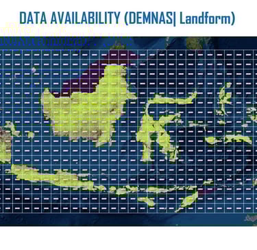
LOCATION
East Kalimantan,Indonesia