
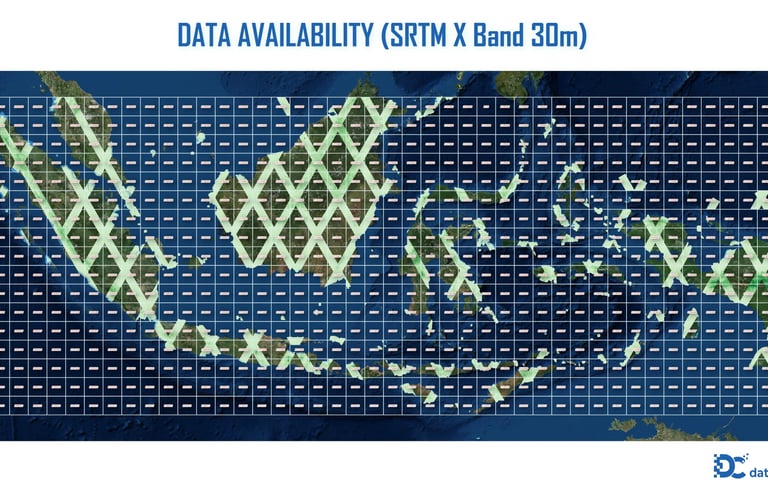
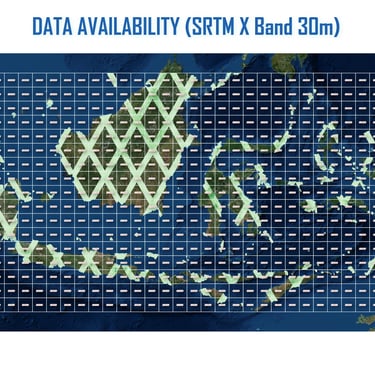
SRTM X Band
Provider: DLR (German Aerospace Center), ASI (Italian Space Agency)
Mission Date: February 11–22, 2000
Instrument: X-band Synthetic Aperture Radar (SAR) – wavelength 3 cm
Specification
Coverage Area Partial coverage: Europe, Middle East, parts of Asia, North Africa, and selected global sites (~50 million km²)
Spatial Resolution ~1 arc-second (~30 meters)
Vertical Accuracy ±6–10 m (relative), varies with terrain and land cover
Horizontal Datum WGS 84 (EPSG:4326)
Vertical Datum Mean Sea Level / EGM96 (may vary by distributor)
File Format GeoTIFF, DTED, ASCII Grid (depends on distributor)
Tile Size Typically 1° x 1°, depending on source
Elevation Units Meters above mean sea level
Data Type 16-bit signed integer
Acquisition Method SAR interferometry (InSAR) using onboard antennas during Space Shuttle Endeavour mission
Data Voids Less common than C-band due to shorter wavelength, but coverage is limited
Data Sources Raw SAR interferometry from X-band (3 cm wavelength) sensors
Access / Licensing Restricted. Freely available in some regions (e.g., via DLR’s WorldDEM Core), otherwise under license.
© 2025. All rights reserved.


LOCATION
East Kalimantan,Indonesia